Spatial Data Science
The Jupyter environment allows for extensive customization and deep analysis through spatial data science. geo3D executes an example of population estimation and the calculation of Building Volume per Capita (Ghosh, T.; et. al.).
While the prefered process would proceed:

osm_LoD1_3DCityModel -> Spatial Data Science; an alternate does exist.
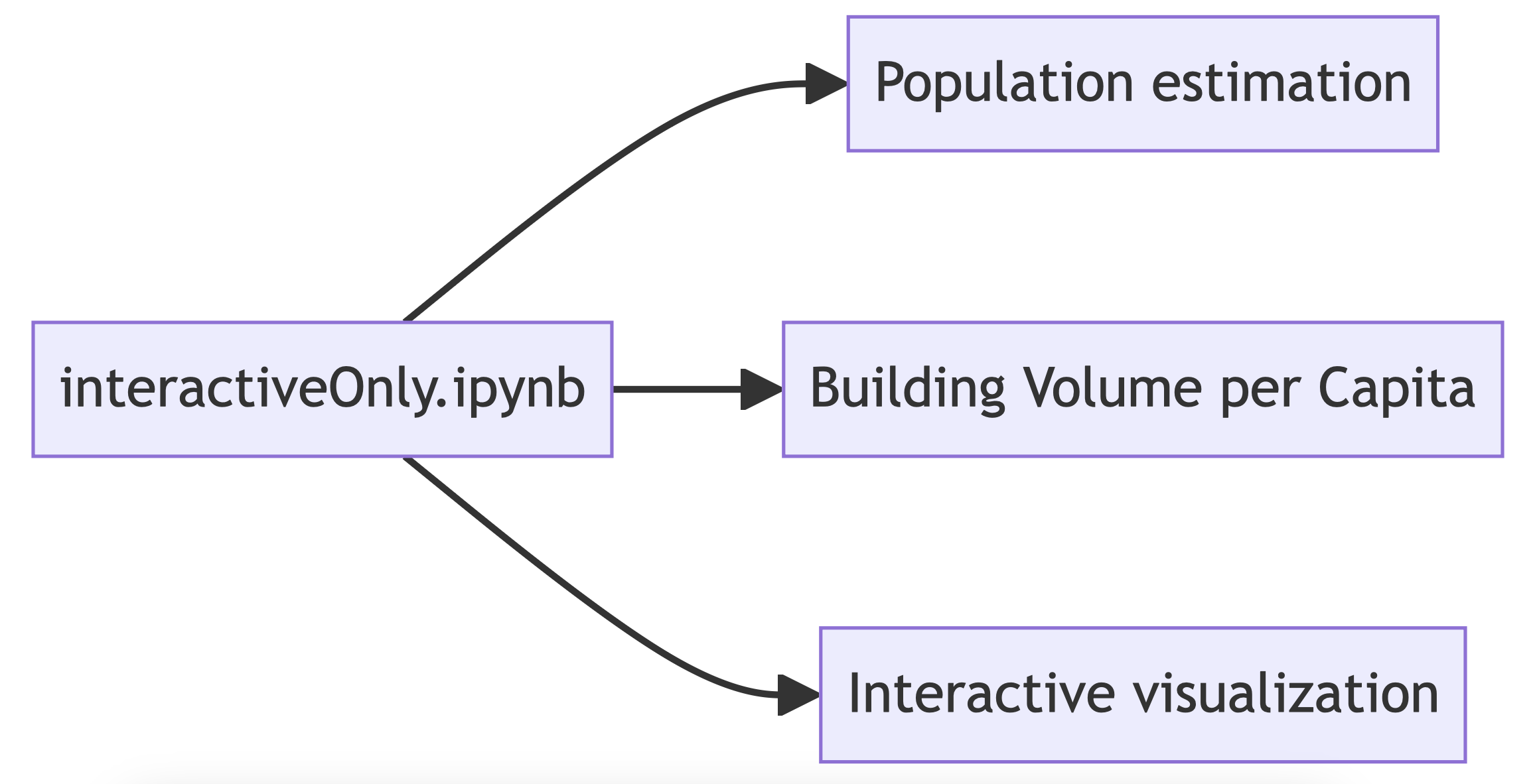
interactiveOnly.ipynb will create a basic 3D model visualisation followed by population estimation and the calculation of Building Volume per Capita (Ghosh, T.; et. al.).

Please consider your needs before executing the solution. We do not want to burden the OpenStreetMap server with repeat calls for data.