Triangulation
The 3D Model is based on a triangulated irregular network (TIN) data-structure. A TIN is a collection of connected 3D triangles that form a continuous closed surface. osm_LoD1_3DCityModel creates a TIN with Jonathan Richard Shewchuk’s Triangle and uses a special algorithm called a Constrained Delaunay triangulation.
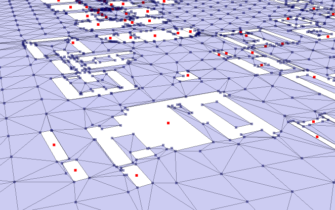
Table of contents
Quality Checks
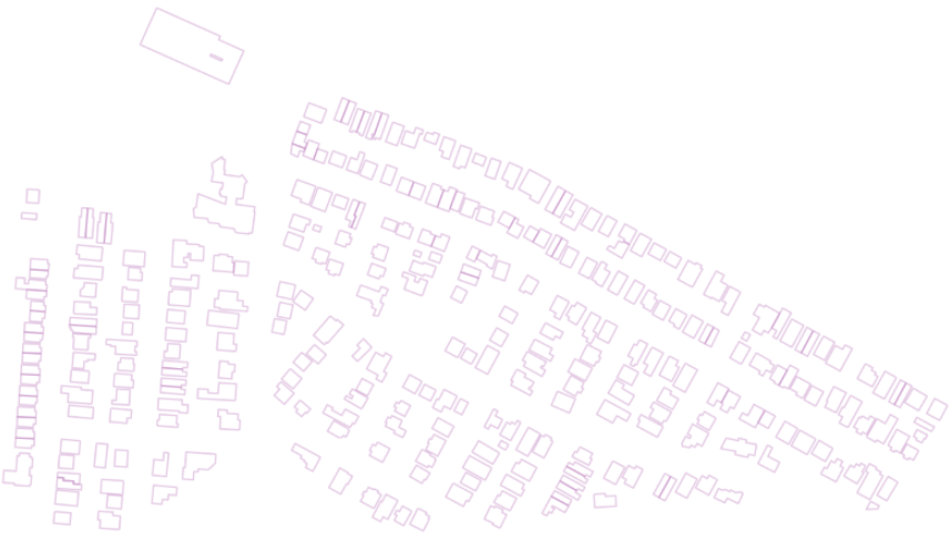
Before a City Model is created the user will be presented with a basic matplotlib figure [saved to the data folder] and a choice; to iether continue (with Enter) or exit (with Esc). Topological errors (crossing buildings) are highlight and the user is encouraged to fix the challanges at the source. i.e.: edit OpenStreetMap.
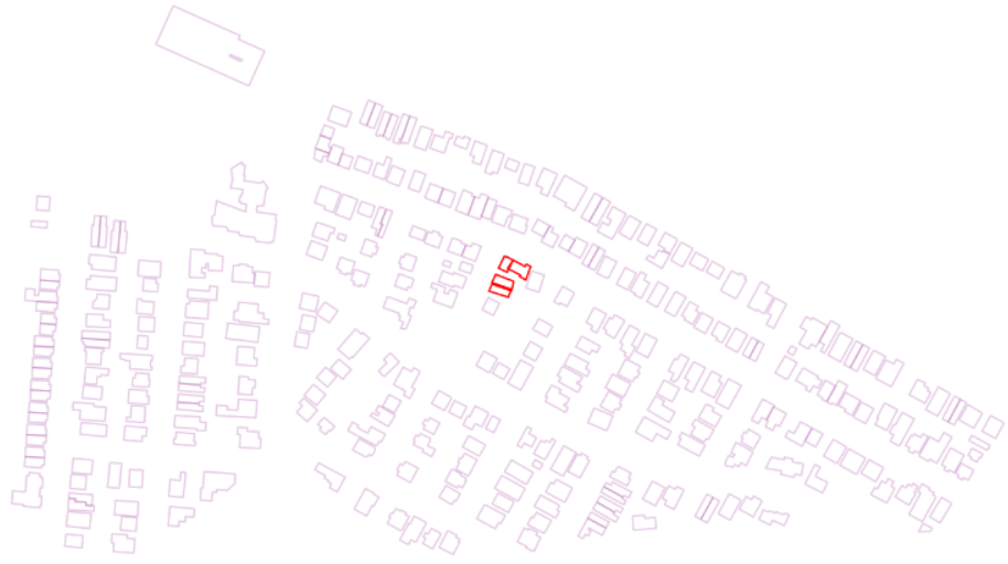
Generally the root of these challenges are buildings crossing each other ~ Fig.2. The constrained Delaunay triangulation knows there are lines (walls) and expects a vertex where they intersect. When there is none an error will occur. Open an osm editor and correct the topology please. We are transforming volunteered public data into a value-added product. Alchemy is a process. Please be patient.*
* for a greater degree of grandualar control; have a look at osm_LoD1_3DCityModel Walkthorugh.
Licencing
While this workflow is released under an MIT Licence be aware Shewchuck’s Triangle may not be sold or included in commercial products without a license.