Welcome to geo3D.#
geo3D is a free and open-source tool for creating 3D City Models, to enhance Geography and Sustainable Development Education.
With execution via Jupyter Notebook, geo3D provides an accessible and reproducible workflow, that gives students, educators and community organisations the ability to generate topologically correct Level-of-Detail 1 (LoD1) 3D models of their own neighbourhoods, from an open geospatial data source; namely OpenStreetMap [OpenStreetMap contributors, 2023].
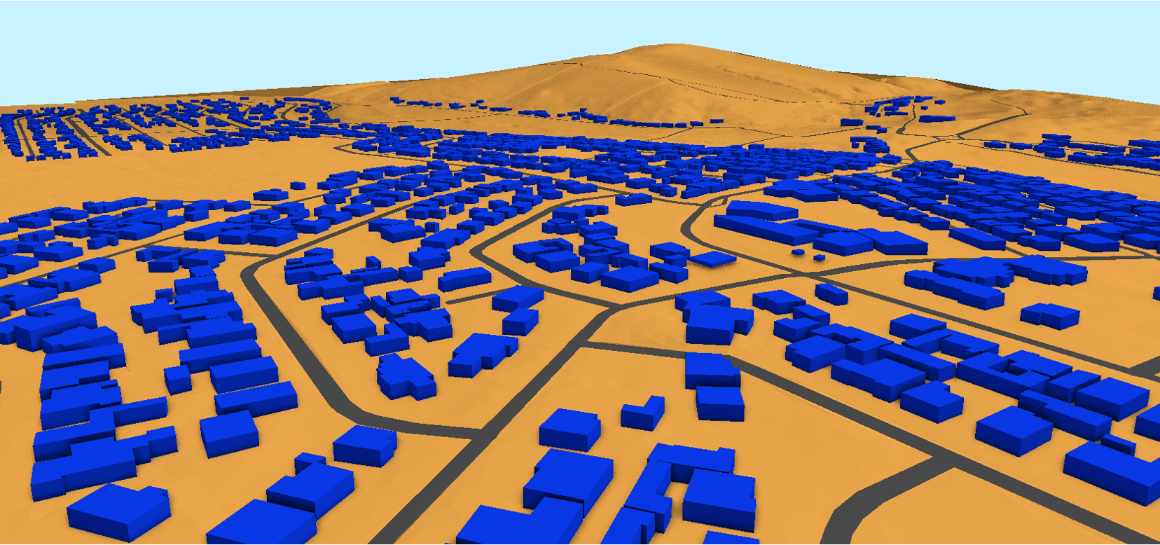
Fig. 1 A LoD1 3D City Model of a peri-urban village; Mamre.#
The purpose of this book is illustrate, in a workshop (tutorial-type) format, how to create a LoD1 3D City Model, at a local level, and use these as learning tools to estimate a current population, predict a future population and estimate a Building Value Per Capita [Ghosh et al., 2020] metric, of participants own communities.
A brief primer on geo3D, the workshop setup and content are accessible via the left menu of this webpage.